Location-specific Yosemite Forecasts
Yosemite doesn’t just have one weather forecast. To get a sense of the weather in Yosemite, you need to specify which part of Yosemite you’re interested in.
Yosemite covers an area roughly the same size as Rhode Island and elevations from around 1,800 ft (549m) at the lowest point to the peak of Mt. Lyell at 13,114 feet (3,997 m), so we see a lot of different weather forecasts depending on exactly where in the park you’re looking.
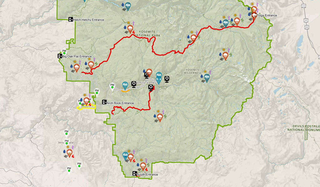
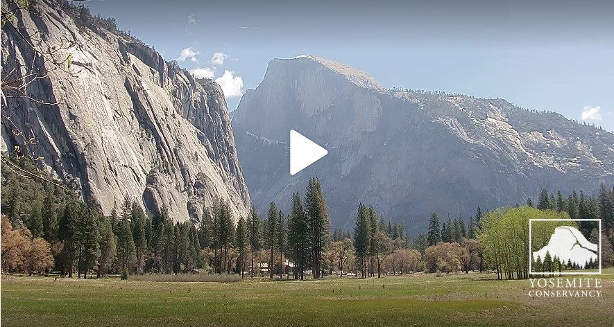
A new interactive map from the National Park Service and Yosemite Conservancy combines weather forecasts, webcams and even air quality sensors to help you get a sense of the weather in different parts of the park.
If you know where you’re heading, here are shortcuts to a few point forecasts for different regions of the park:
- Mariposa Grove of Giant Sequoias Forecast – the largest grove of giant sequoias in Yosemite
- Wawona Forecast – the location of The Redwoods In Yosemite Cabins
- Badger Pass Forecast – during the winter, this area is the heart of snow fun in Yosemite.
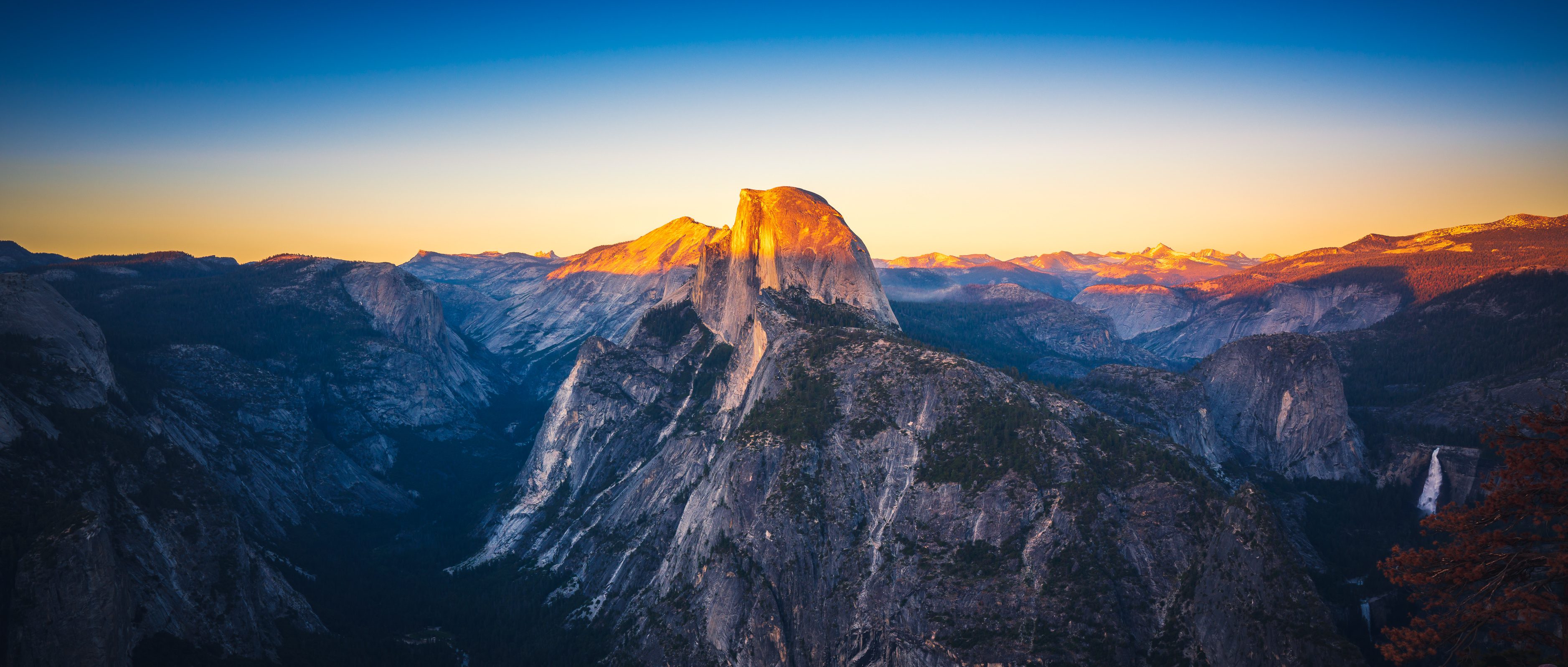
- Glacier Point – the famous view from the rim looking down into Yosemite Valley (in winter the road to Glacier Point is closed to vehicles)
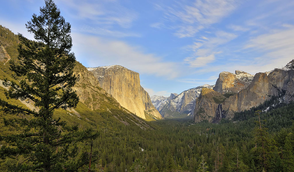
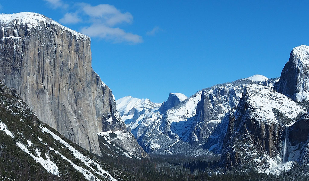
- Yosemite Valley – home of the most famous of Yosemite’s landscapes
- Tuolumne Meadows – Yosemite’s high country, filled with excellent summer hiking (in winter the road to Tuolumne is closed to vehicles)
You can also find more Yosemite locations on the NPS page.

